Project Associate
August - September 2023
Daniel L.
Gan Y.R
Elisa Hanim
Tan Y.J
Maslah S.
Dr Kang C.S.
Urban Design
Visual Design
SketchUp
Stakeholder Engagement
SketchUp
Photoshop
Powerpoint
Project overview
The Dato Menteri LRT station is a light rapid transit (LRT) station nestled in the state capital city of Shah Alam in Selangor, Malaysia. It serves as one of the stations on the Shah Alam Line. The station is located at Section 14 where most of the important commercial and government departments in the state of Selangor are located.
In this project, we have been given the chance to work alongside the local authority, contractors, and community to improve the situation at hand through :
Conducting brief project overview
Physical walkabout in the area with key users
Conducting user mapping and interactive questionnaires on user aspirations and concerns.
Producing an outcome report to the local authority on ways forward.
Thus, the question asked:
How might we create a seamless pedestrian experience for users traveling to and from the Dato Menteri LRT stations, encouraging them to explore and engage with the surrounding area?


01
Understanding The Problem On Site
THE SITUATION
The surrounding areas of the station host some of the key places like government institutions, commercial areas etc.
With its anticipated operation to be by 1st March 2025, user experience and behavioral research is needed to design what we call a 'complete street' for last mile mobility (the last stretch of your journey) by understanding the extension of user needs beyond the development of the station.
Project Kick-off and Initial Research
The project began with a comprehensive briefing from the local authority (client). This briefing included both online and in-person meetings to ensure clear communication. Based on the key outcomes outlined by the client, our internal team conducted preliminary research and preparations for the event.
Preliminary Research (Desktop)
Our initial research phase involved a desktop analysis to answer key questions about the area:
1/ What is the current situation of the area, and what are the future plans for its development?
2/ Who are the key stakeholders in the area, and what is the demographic makeup of the population?
3/ How do people typically use the area?
This includes their mode of transportation, the amount of time they spend there, and whether their presence is intentional (e.g., for leisure) or unintentional (e.g., passing through).
4/ Where are the main points of interest within the area, and when are the peak hours of activity?
02
Physical Research : Understanding User Needs Though Physical Interviews
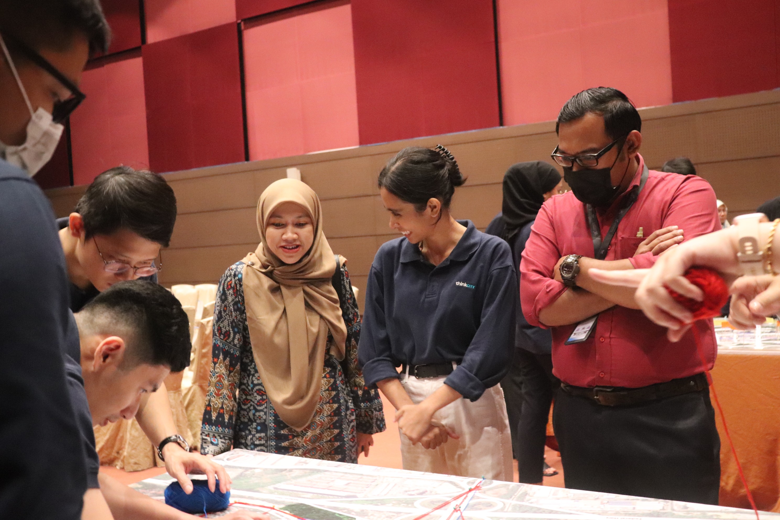
1/ User Research Meeting
The meeting kicked off with a project overview, outlining the project's goals and aspirations. We also took this time to introduce ourselves and meet the stakeholders present.
2/ Understanding User Needs and Experiences
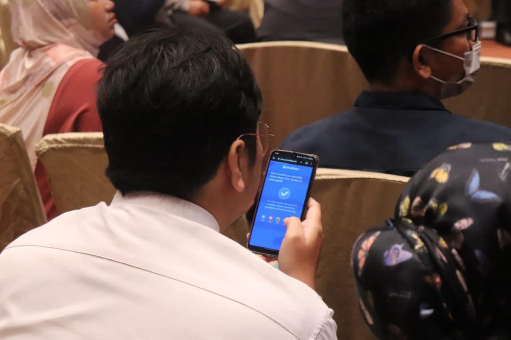
Next, participants completed on-screen questionnaires to gauge their familiarity with the area, typical mode of transportation, frequency of visits, and overall impressions.
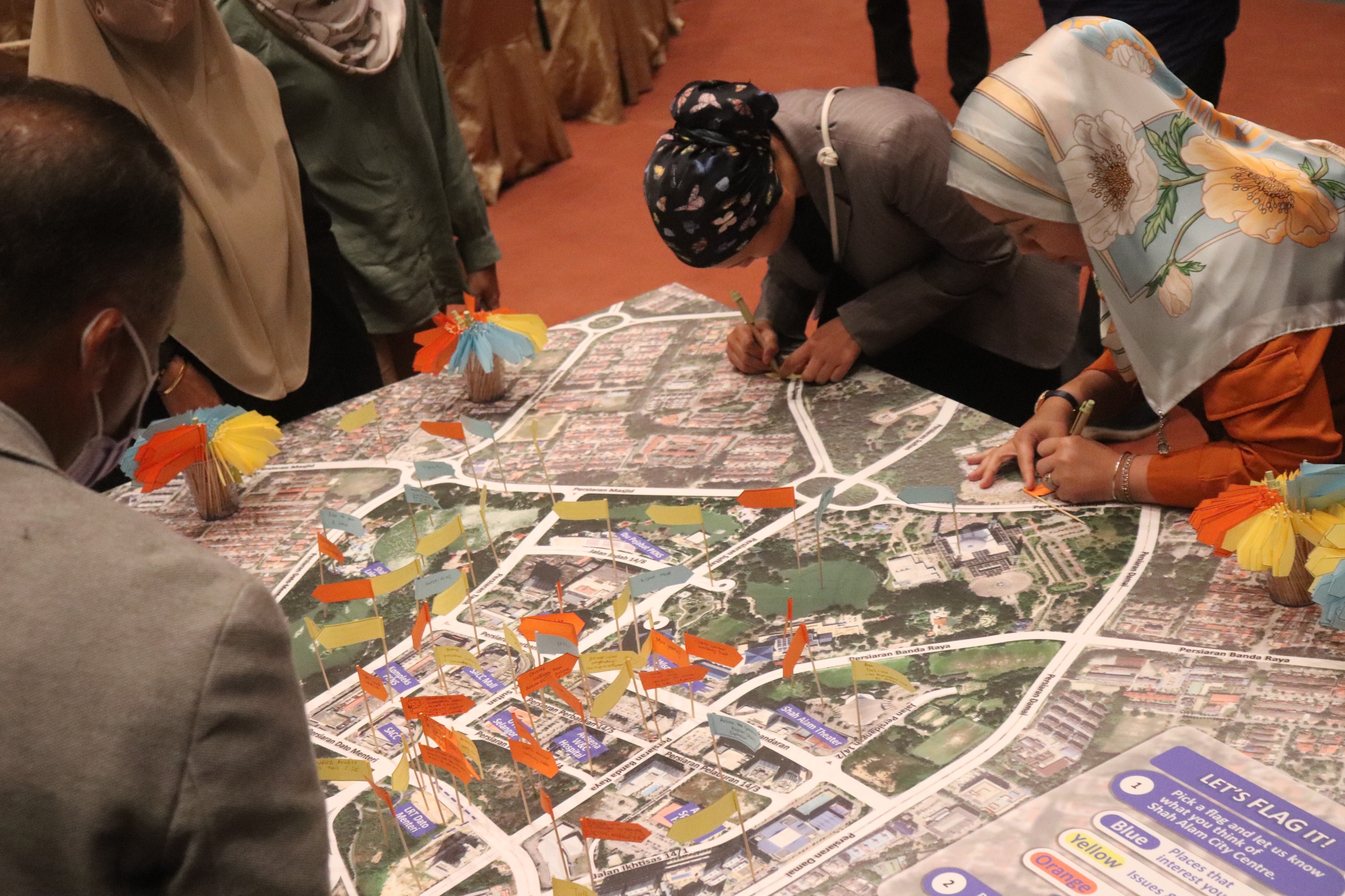
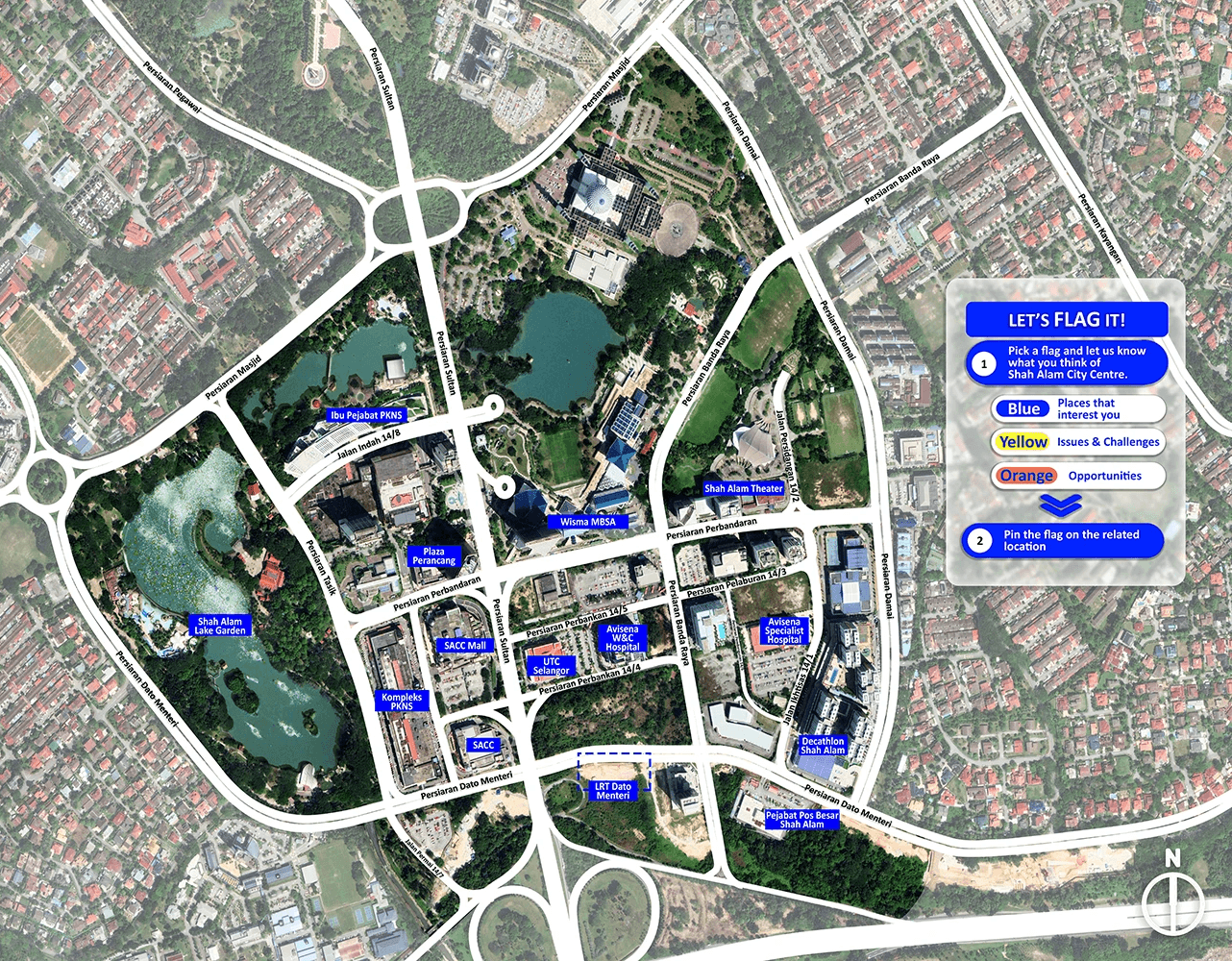
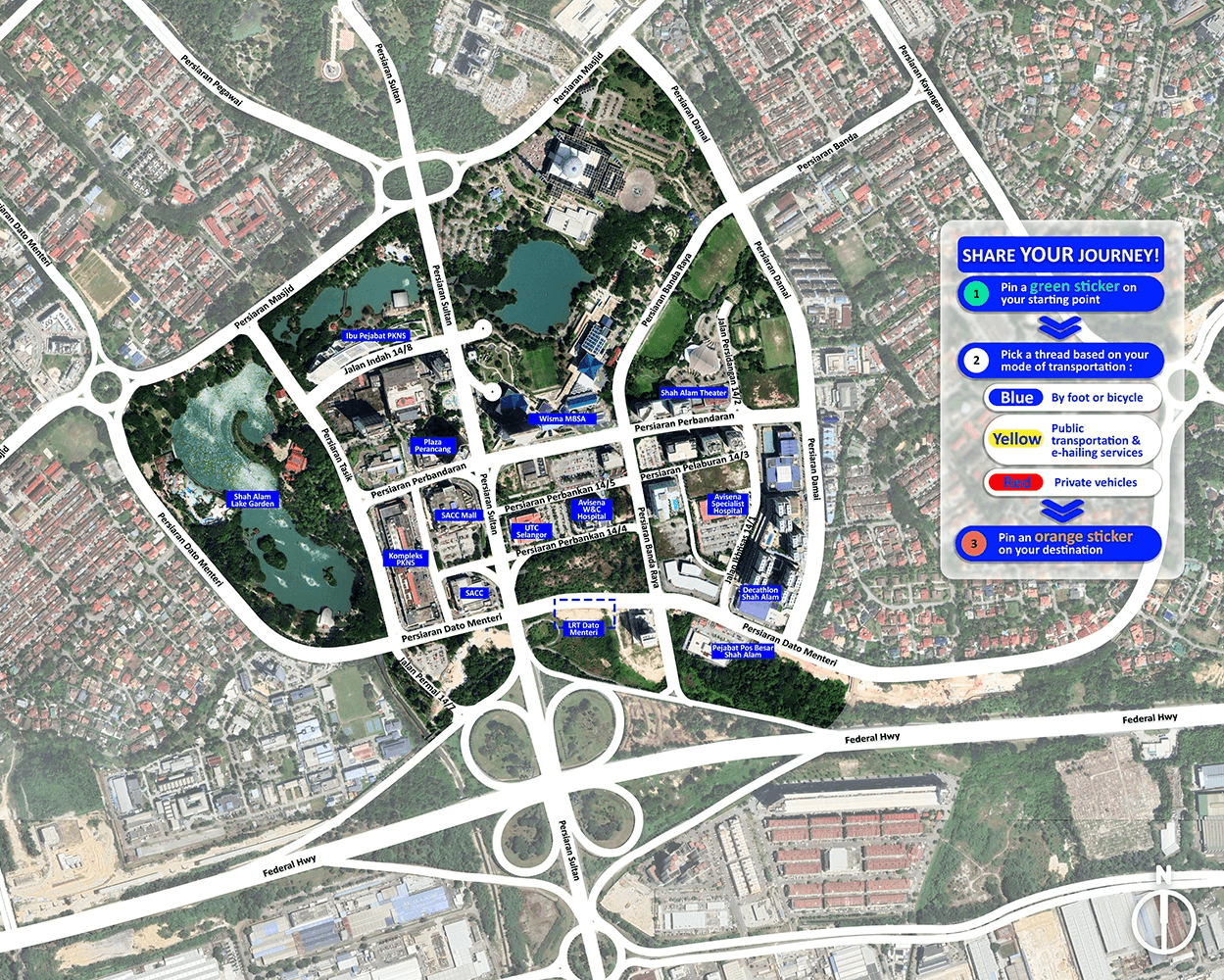
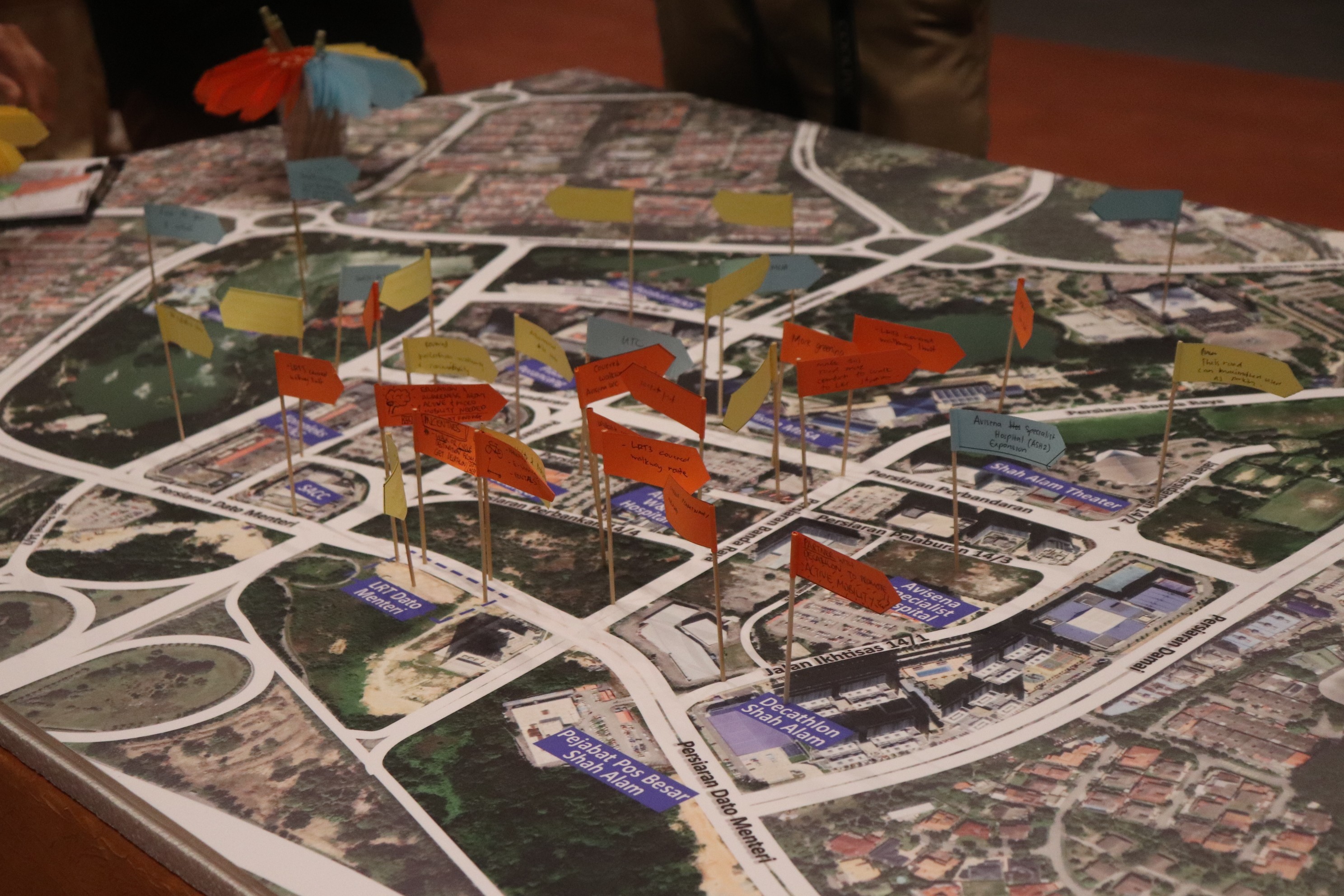
We then facilitated an interactive exercise using two printed location maps. Participants marked their frequent destinations (workplace, leisure, shopping) on one map. On the other map, stakeholders traced their most common routes in and out of the area. These maps provided initial insights into areas with high and low human activity.
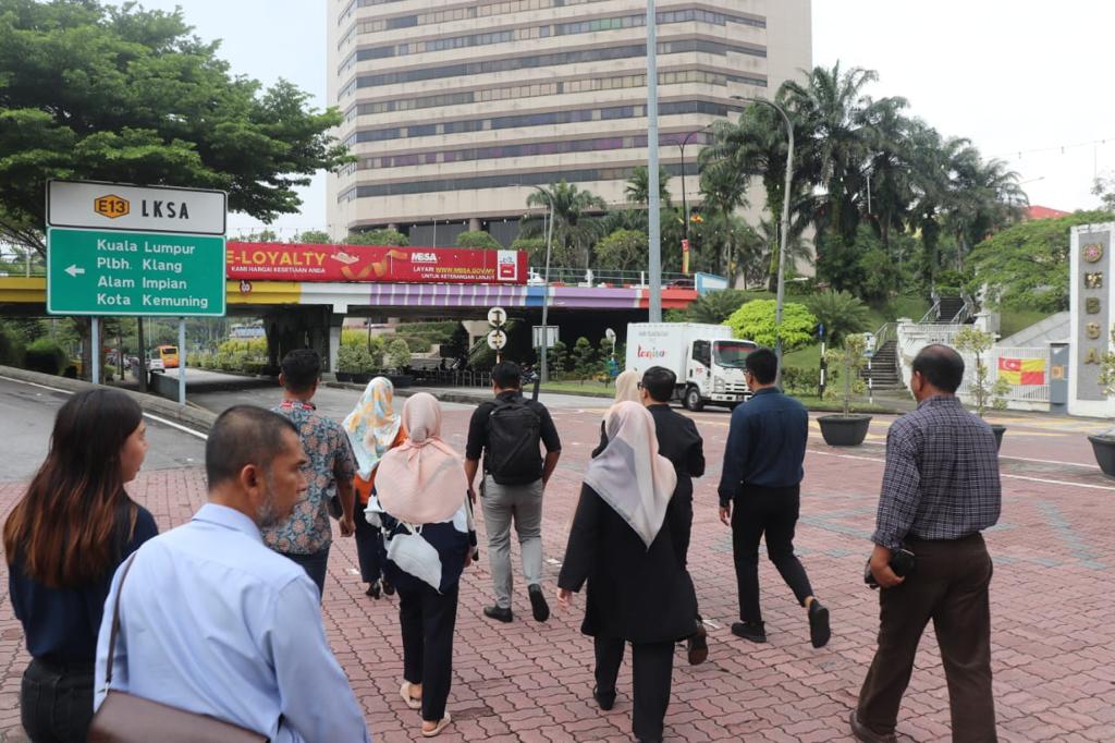
3/ Experiencing the Area Firsthand
Following the map exercise, we divided stakeholders into two groups and led them on a walkabout along the same route, but with different configurations. During the walk, participants were encouraged to take photos of any elements of the urban design that they found problematic (uneven walkways, malfunctioning traffic lights, missing signage, etc.). These photos were uploaded to a GIS-linked system, which automatically mapped the locations.

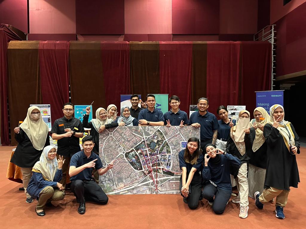
4/ Meeting Wrap-up
Before concluding the meeting, we shared a brief summary of the research findings with all participants. This recap ensured everyone felt included and informed about the upcoming development plans for the area.
03
Refelctions, reflections
Seeing mobility through participants' eyes
Even as part of the research team, I find this study incredibly engaging.
Witnessing participants think aloud and trace their memories onto the map to visualize their movement in the area is truly fascinating. It's been an eye-opening and humbling experience to meet such a diverse range of people and gain a deeper understanding of mobility from their unique perspectives.
I feel incredibly fortunate to be a part of this project.